Gallery
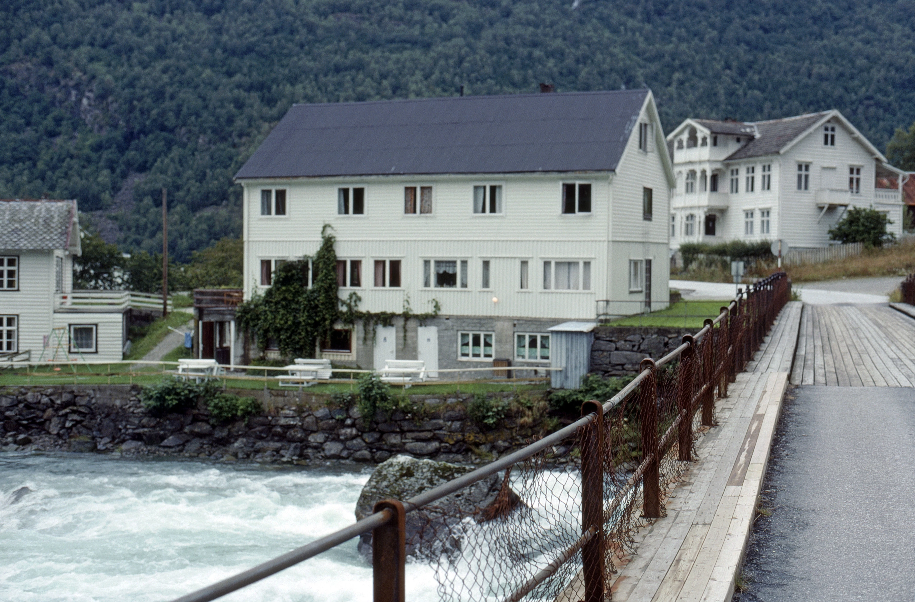
Skjolden Youth Hostel from the little bridge over the very noisy Eidselvi.
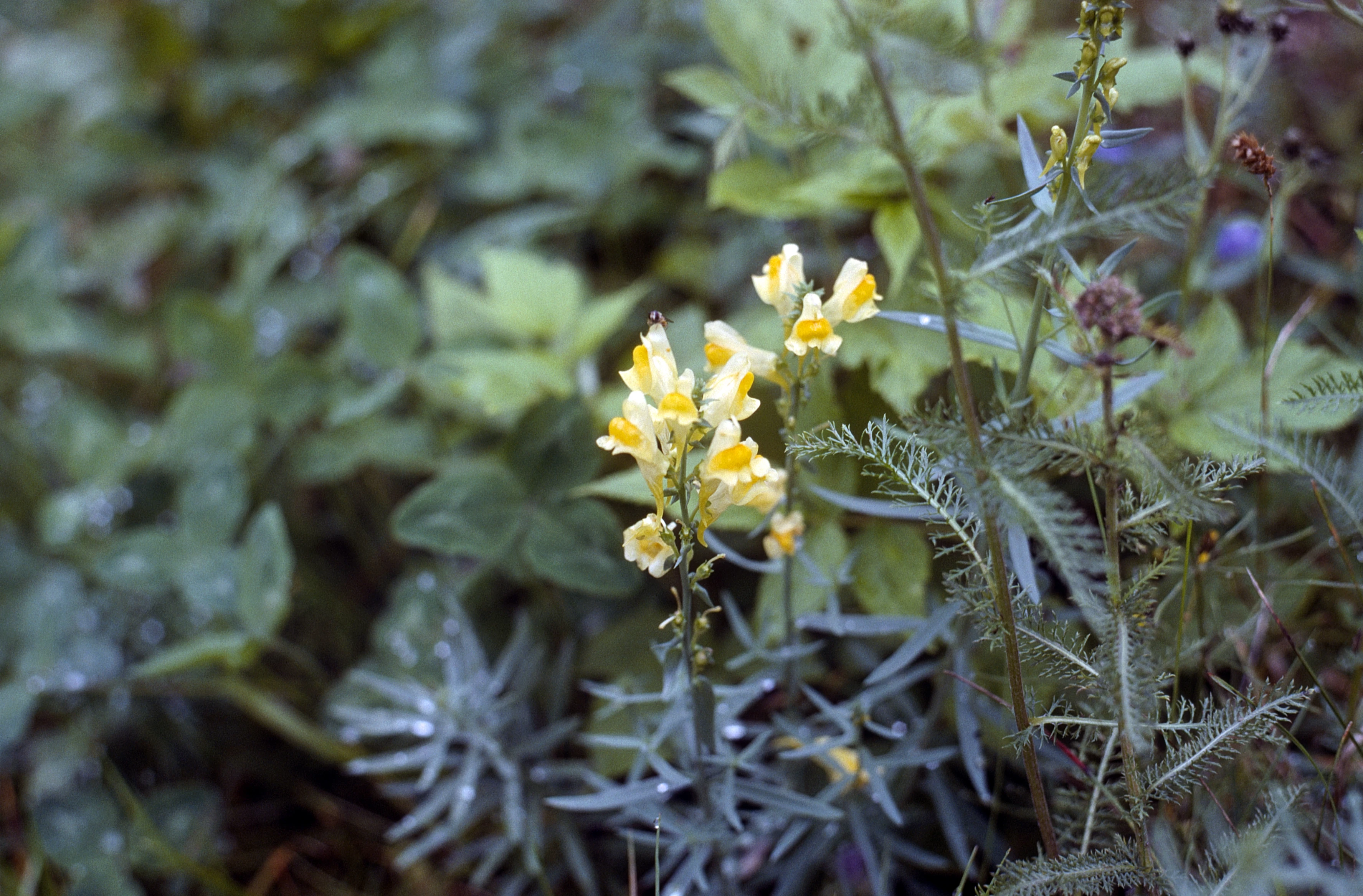
Delightful wildflowers — common toadflax — by Eidsvatnet, Skjolden.
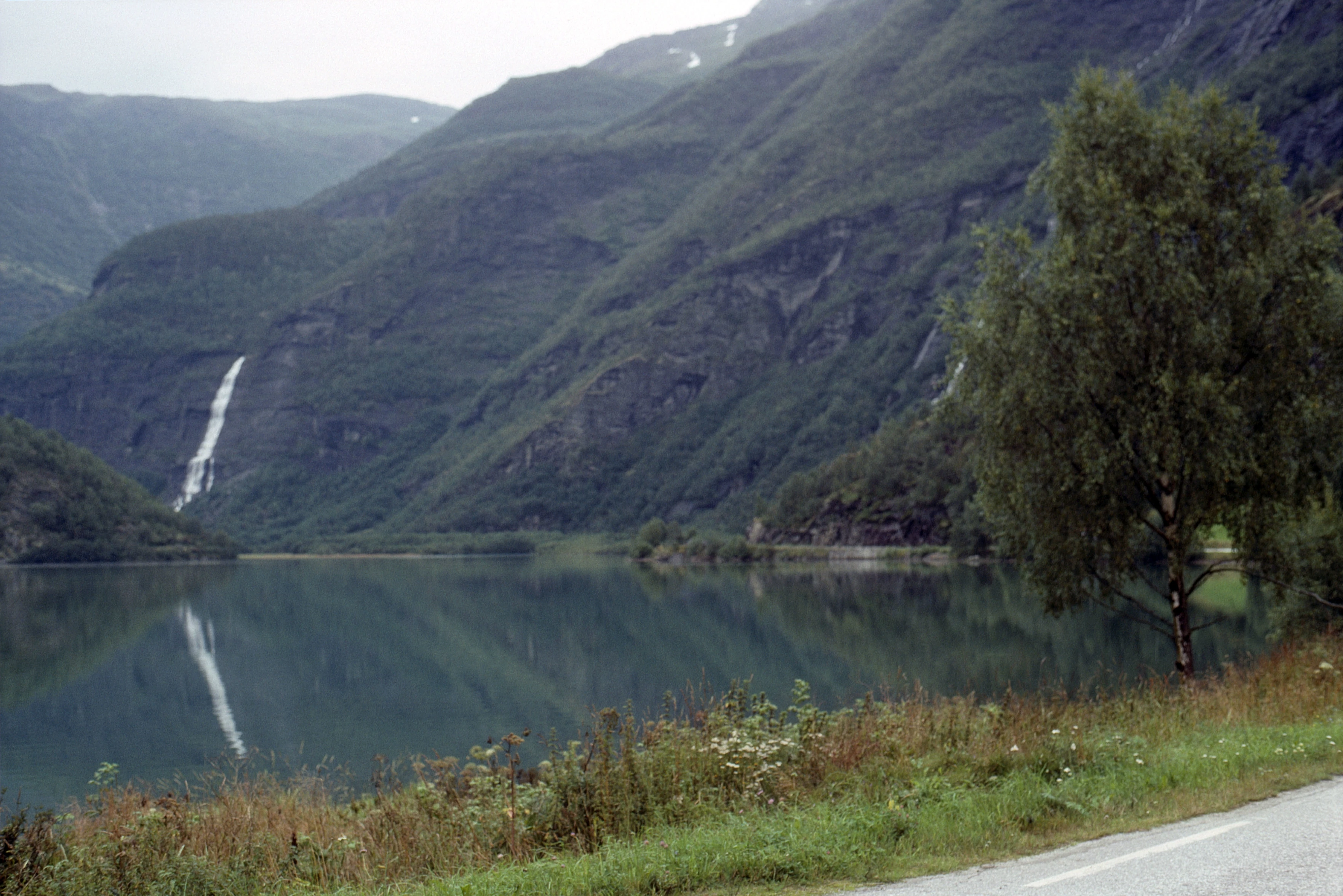
Eidsvatnet behind Skjolden, draining into the Eidselvi past the hostel.
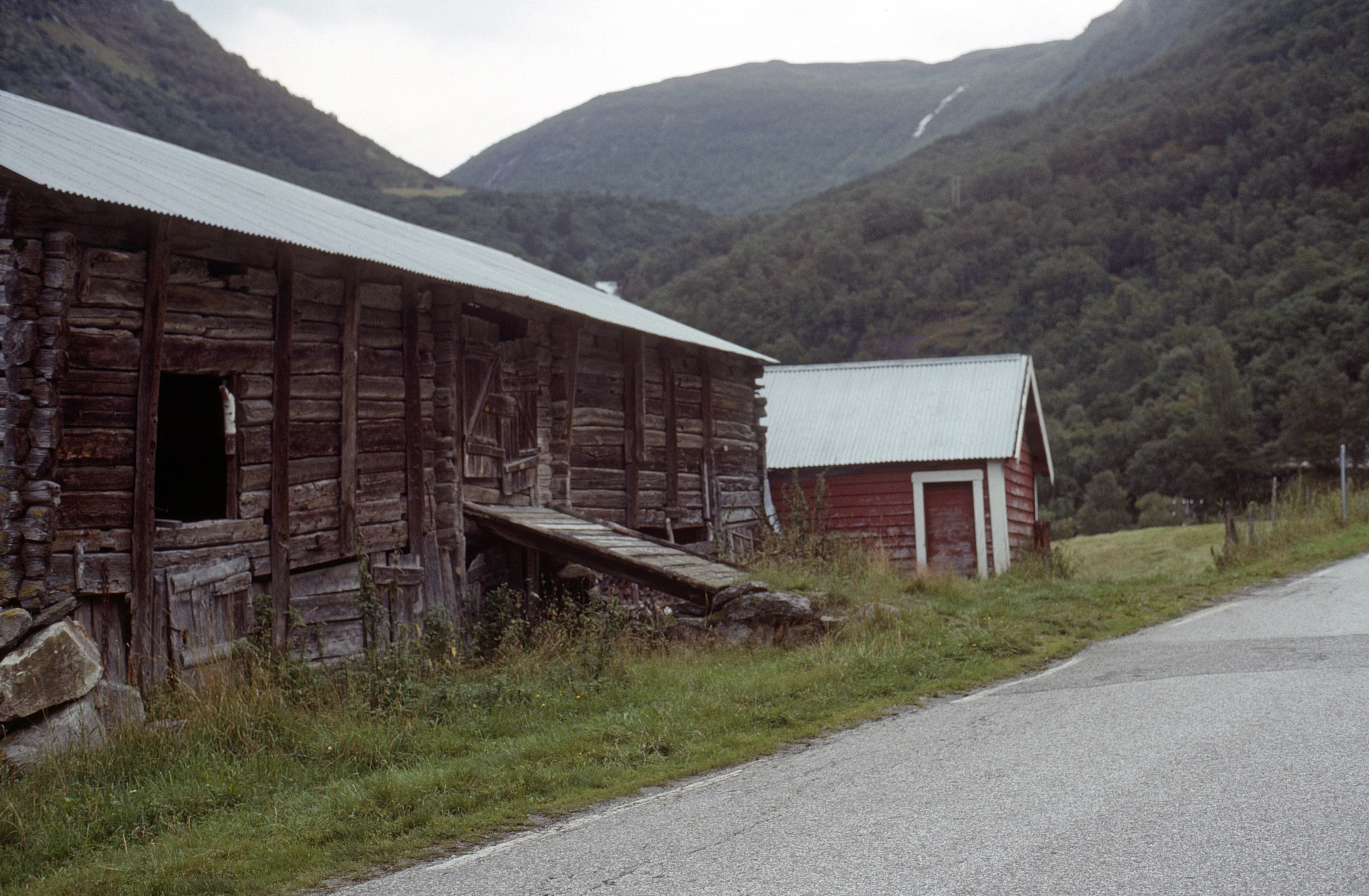
Fine old Norwegian barn at Berge, five miles up Sognefjellsvegen, 270m.
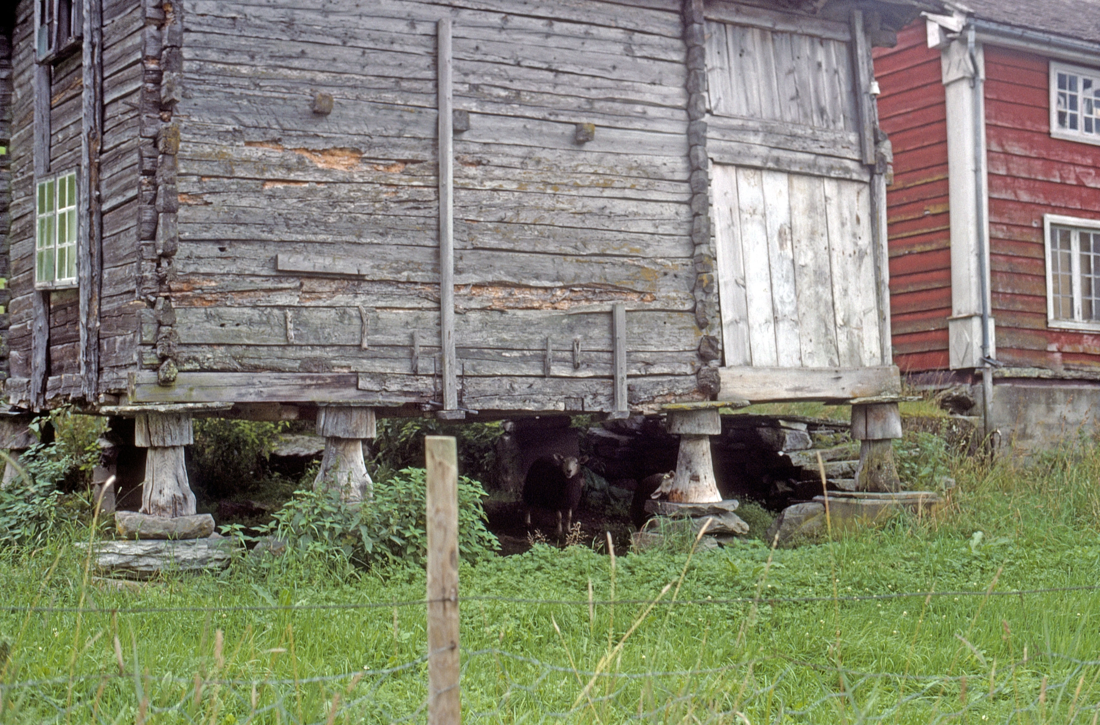
Sheep living under a very old stabbur—raised storehouse—at Berge, five miles up.
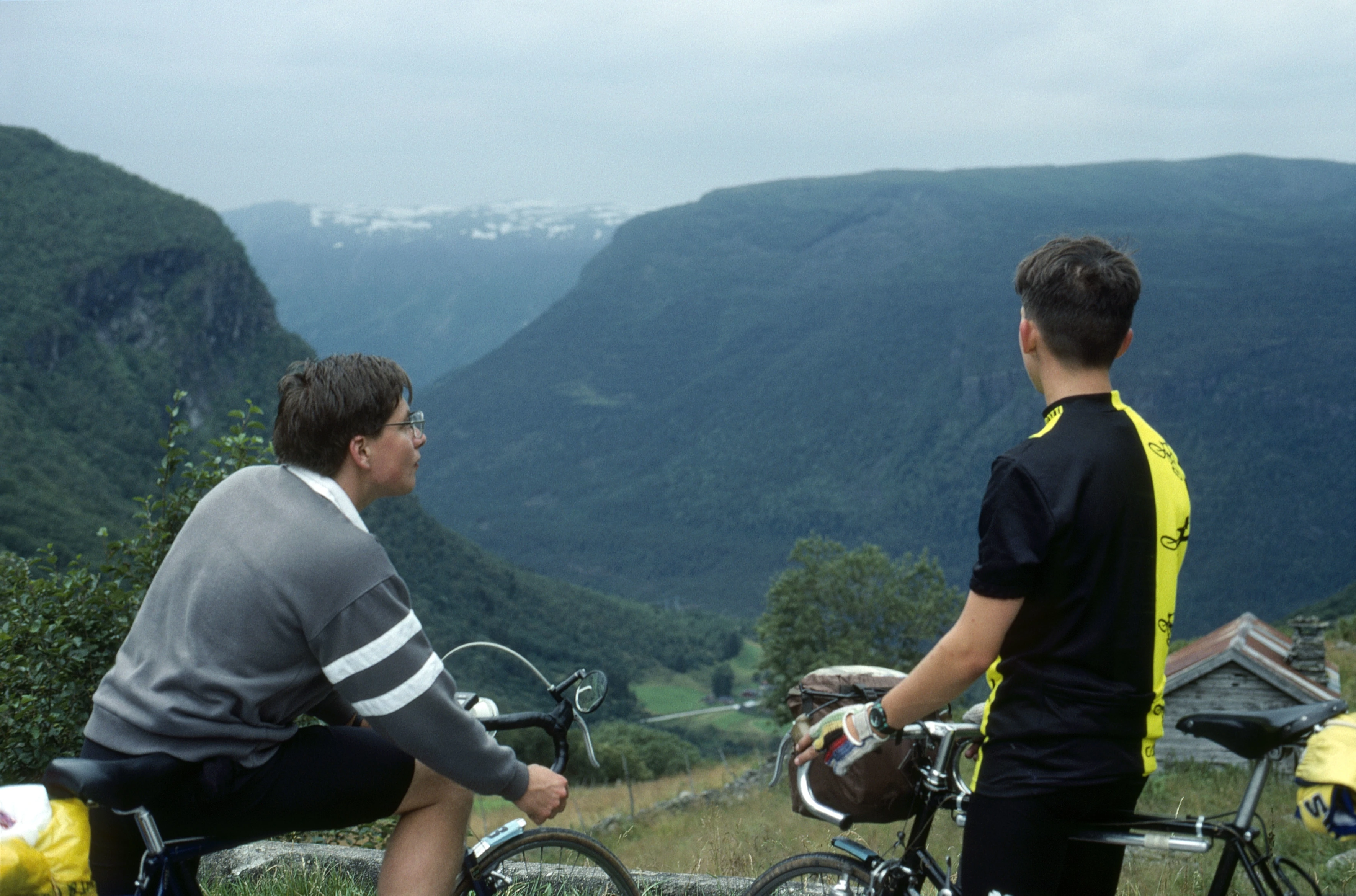
Mark Moxham and Mark Burnard admire the view near Sprekla, 8 miles up, 560m.
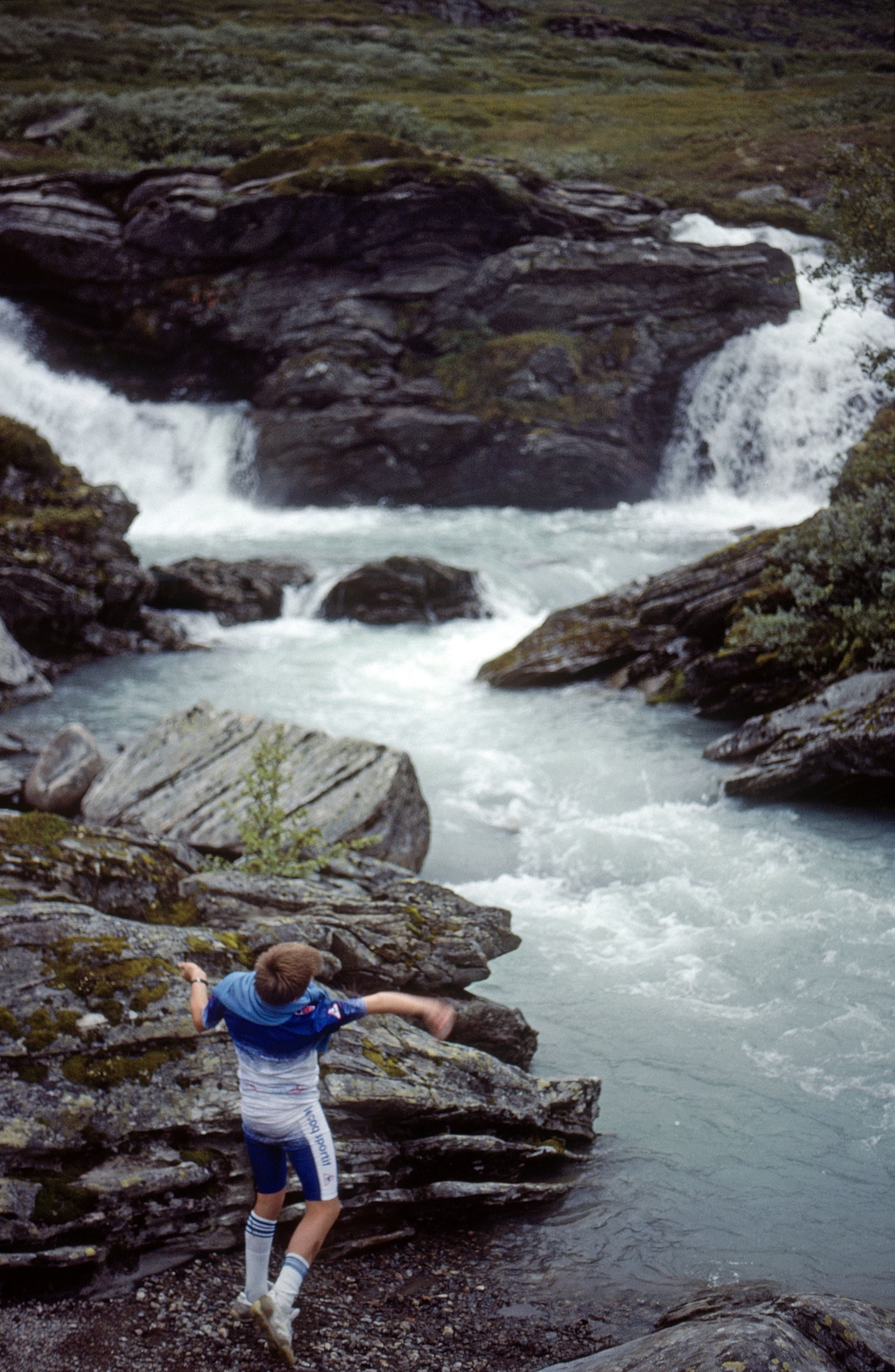
Shane skims stones at Fossegaldsbrui, a small glacial waterfall we’re following uphill.
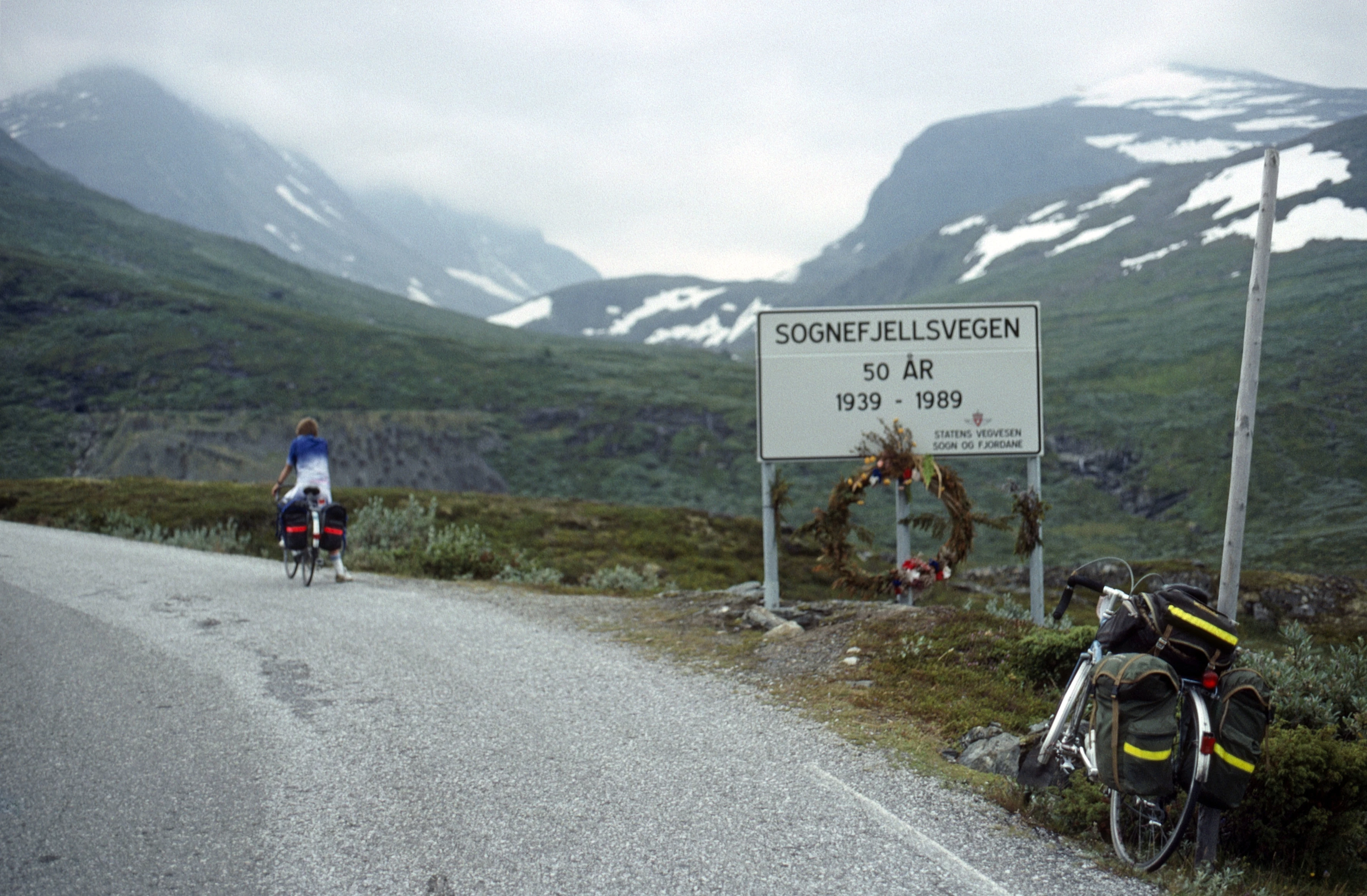
Start of the Sognefjellsvegen climb near Turtagrø Hotel, 10 miles, 930m. Snow beyond; sign says built in 1939.
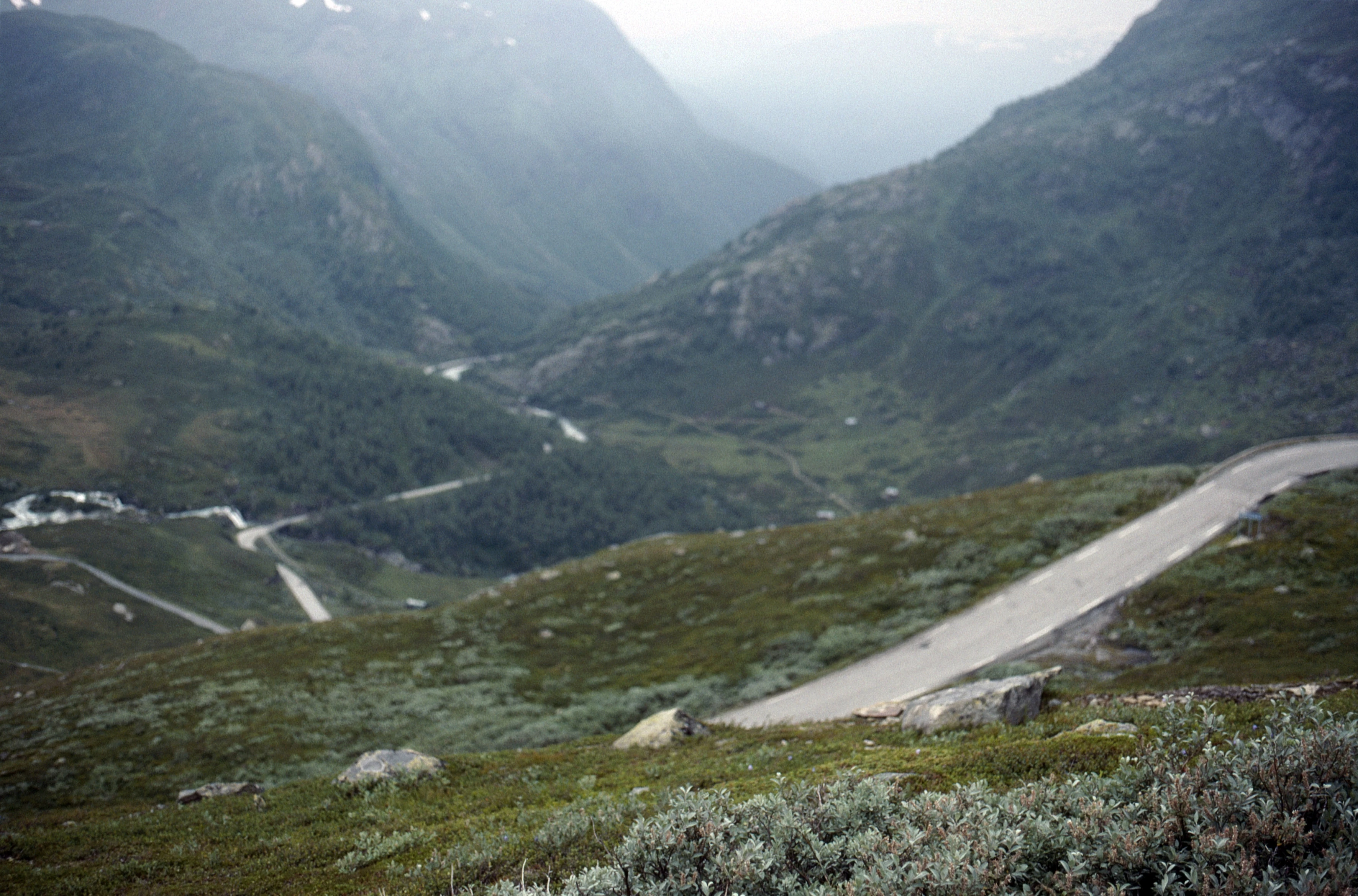
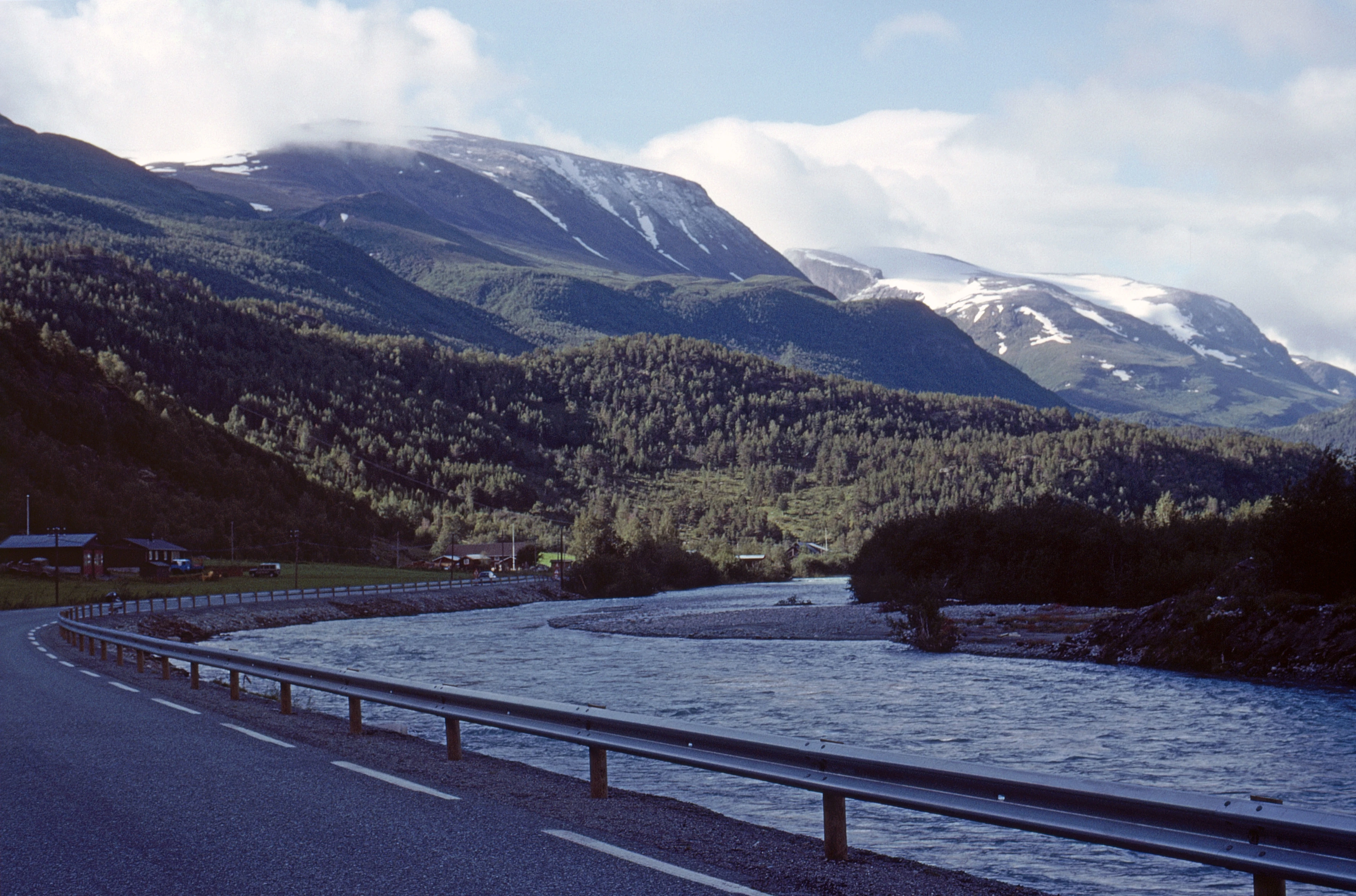
Looking back above Harahola at the long climb. 11 miles, 1035m.
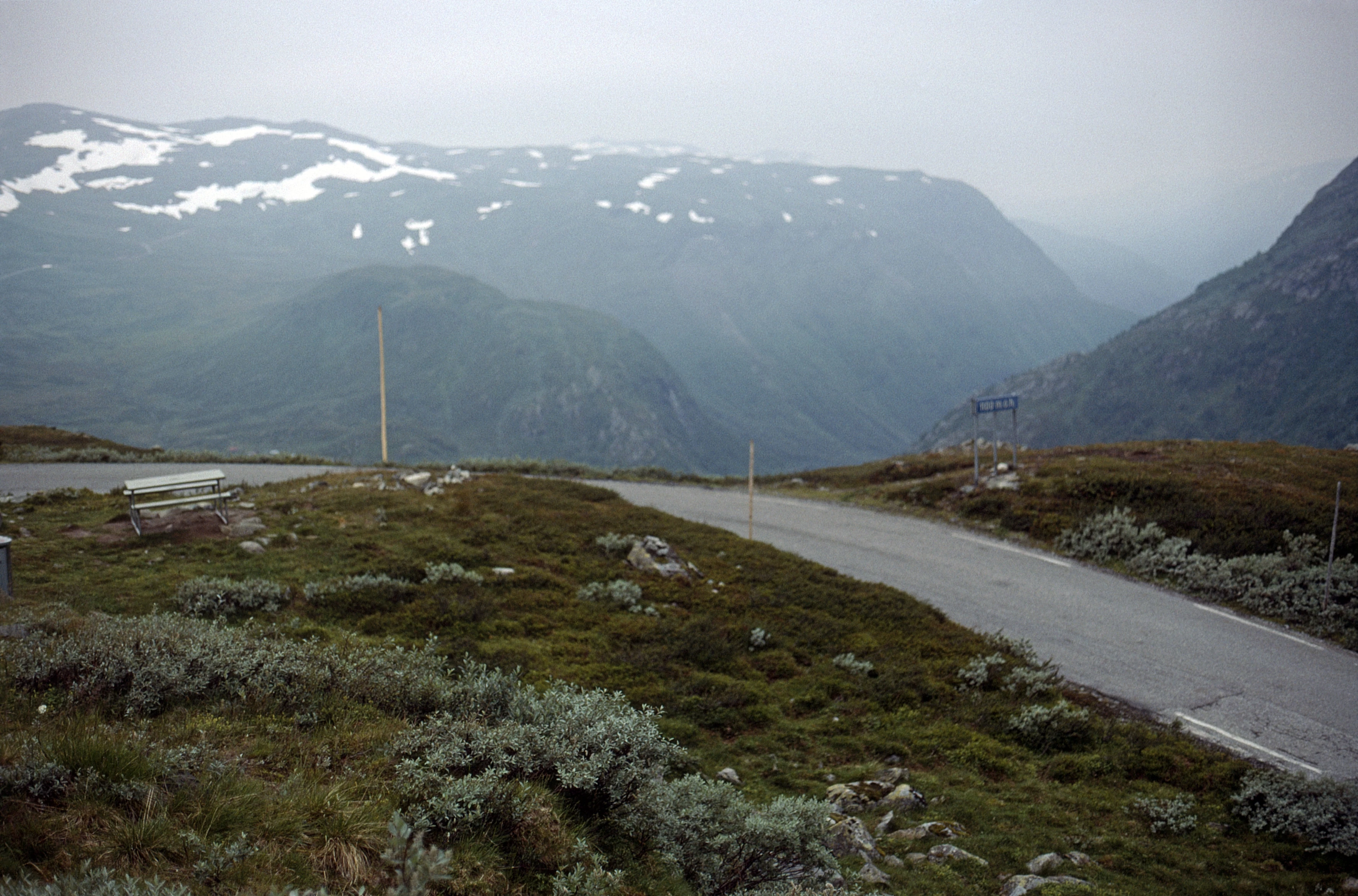
Nedre Oscarshaug viewpoint, 1100m, 11.5 miles from the hostel.
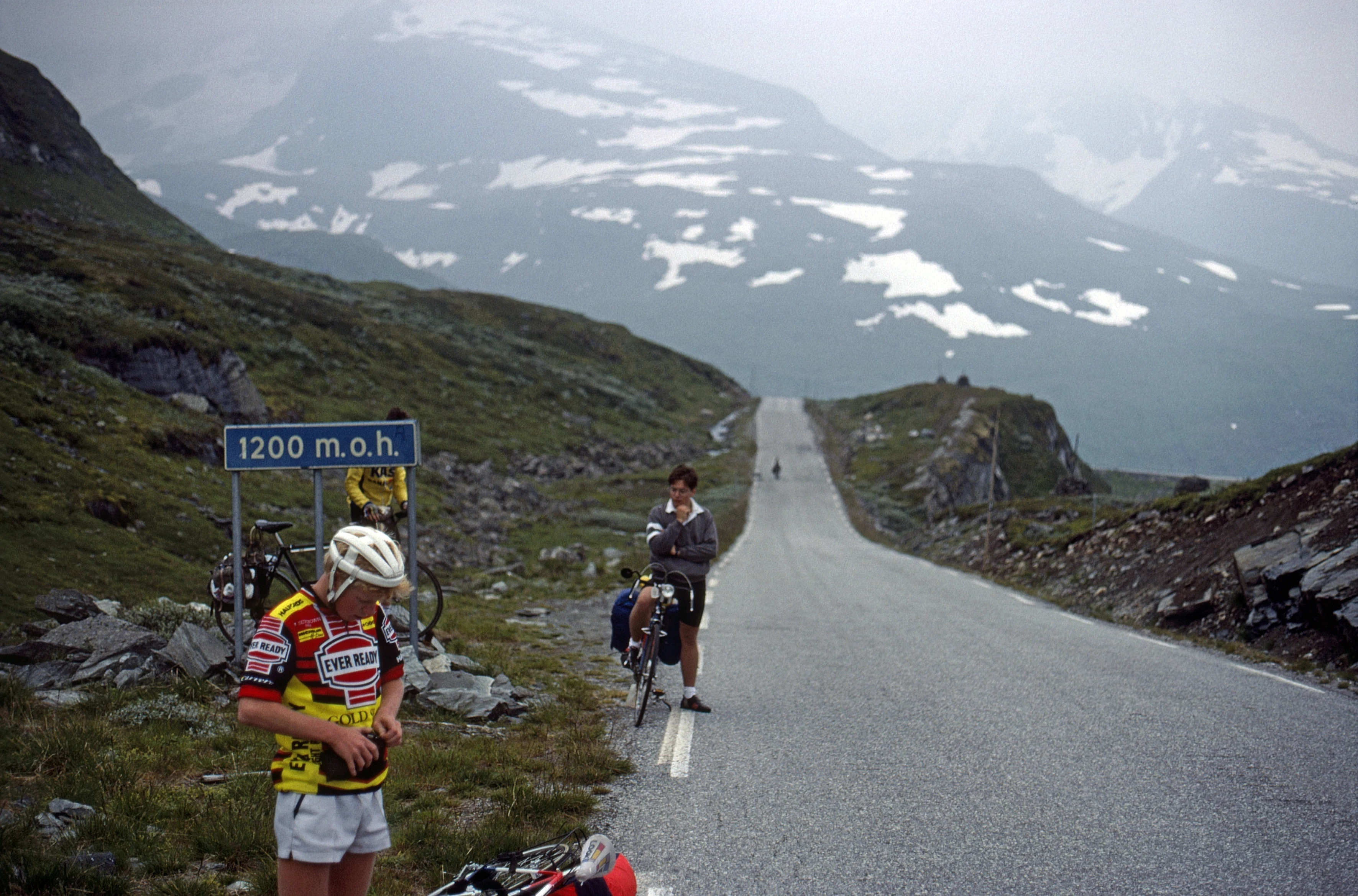
Ian Luke, Mark Burnard and Mark Moxham at 1200m, 12.3 miles from the hostel.
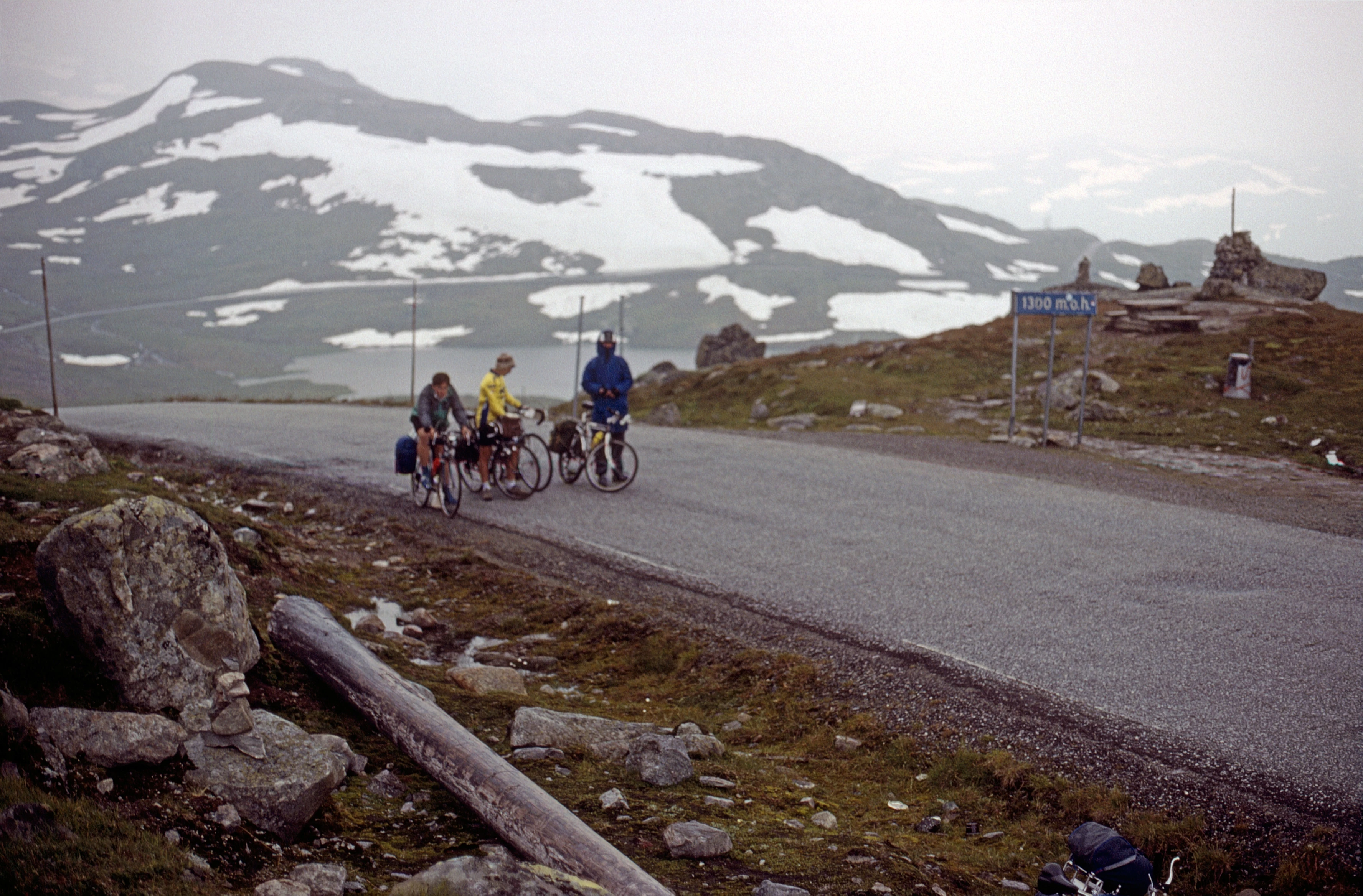
1300m and 14.1 miles; overlooking Gjuvvatnet. Only 144m climbing left, snow everywhere.
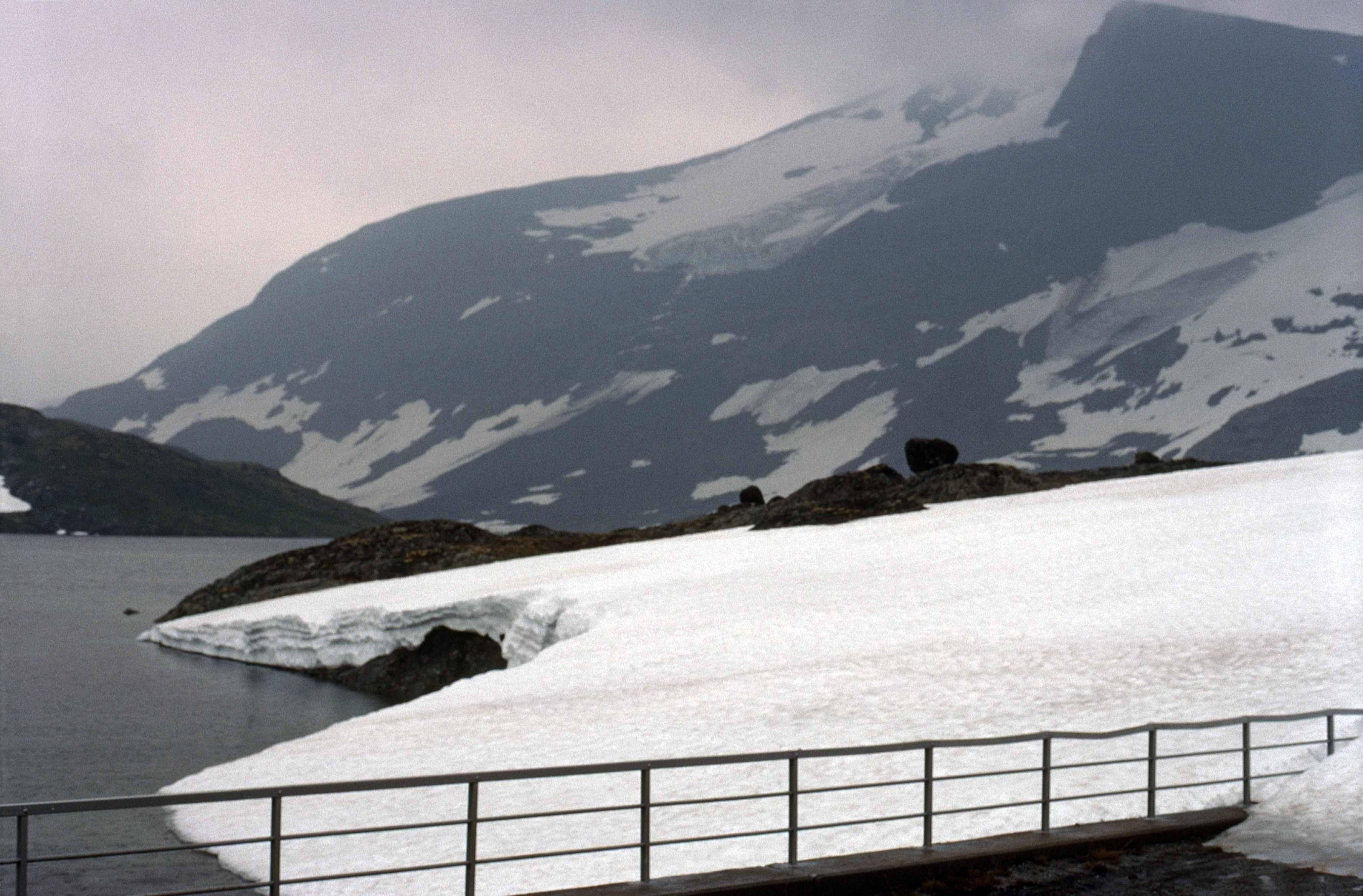
A real glacier on Steindalsnosi, from the fenced road over Øvre Hervavatnet; thick snow by the bridge.

The group by the 1400m sign at Silja lake—higher than Ben Nevis! 16.5 miles.
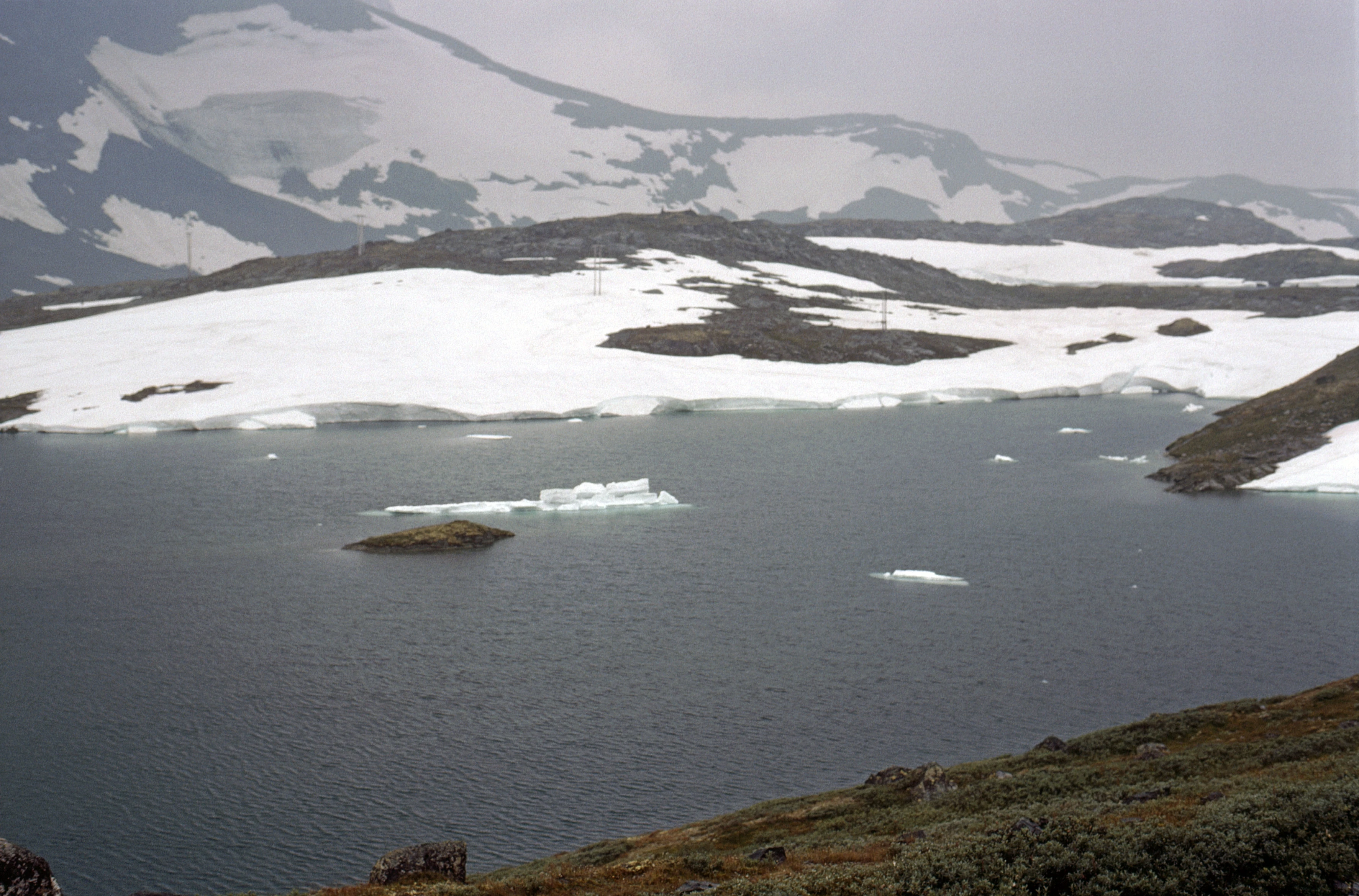
Glaciers on Steindalsnosi and ‘icebergs’ bobbing in Silja lake.
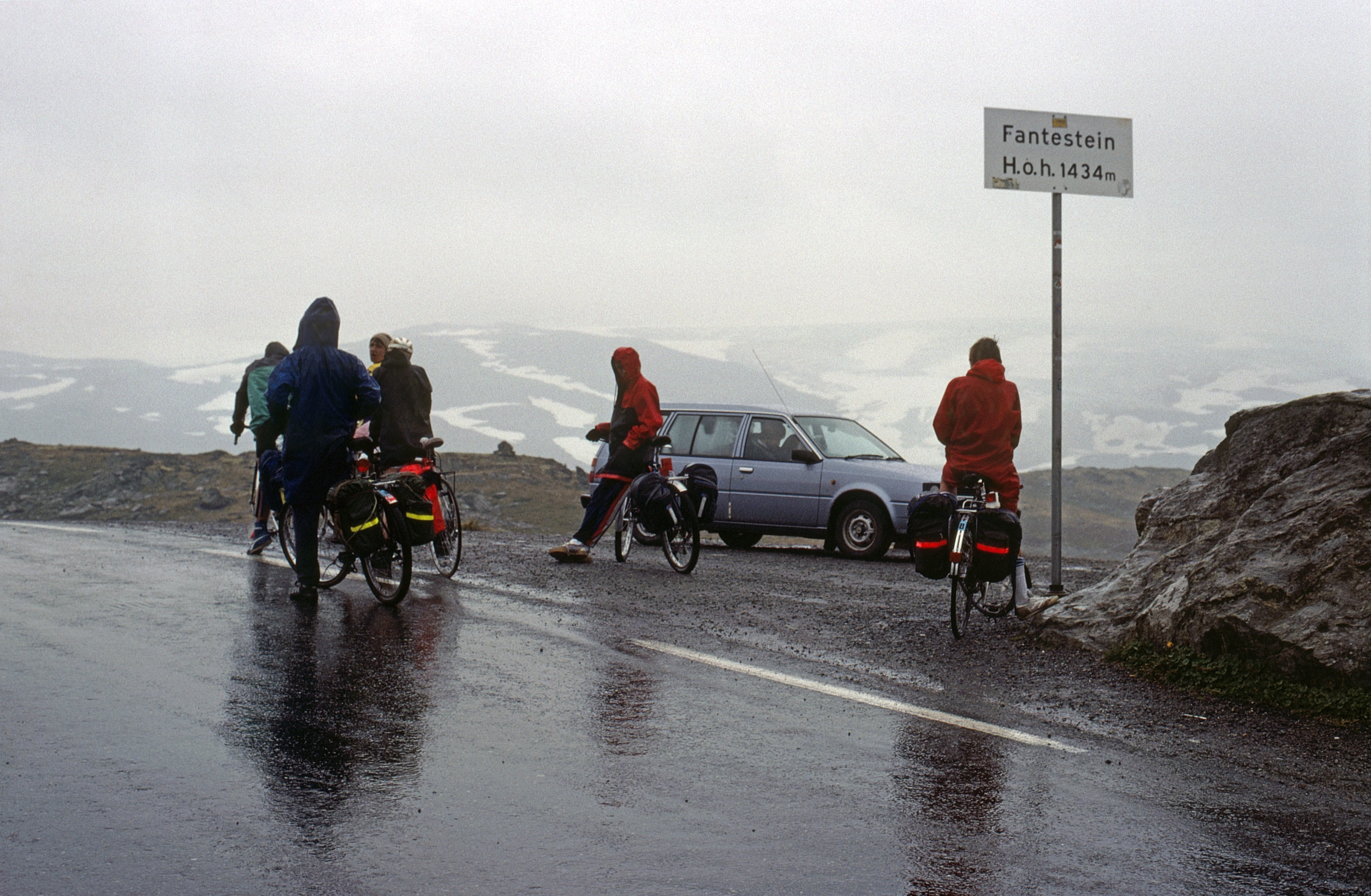
Group at the summit—1434m, 20.5 miles—the highest road in Norway. Coats on after the rain.
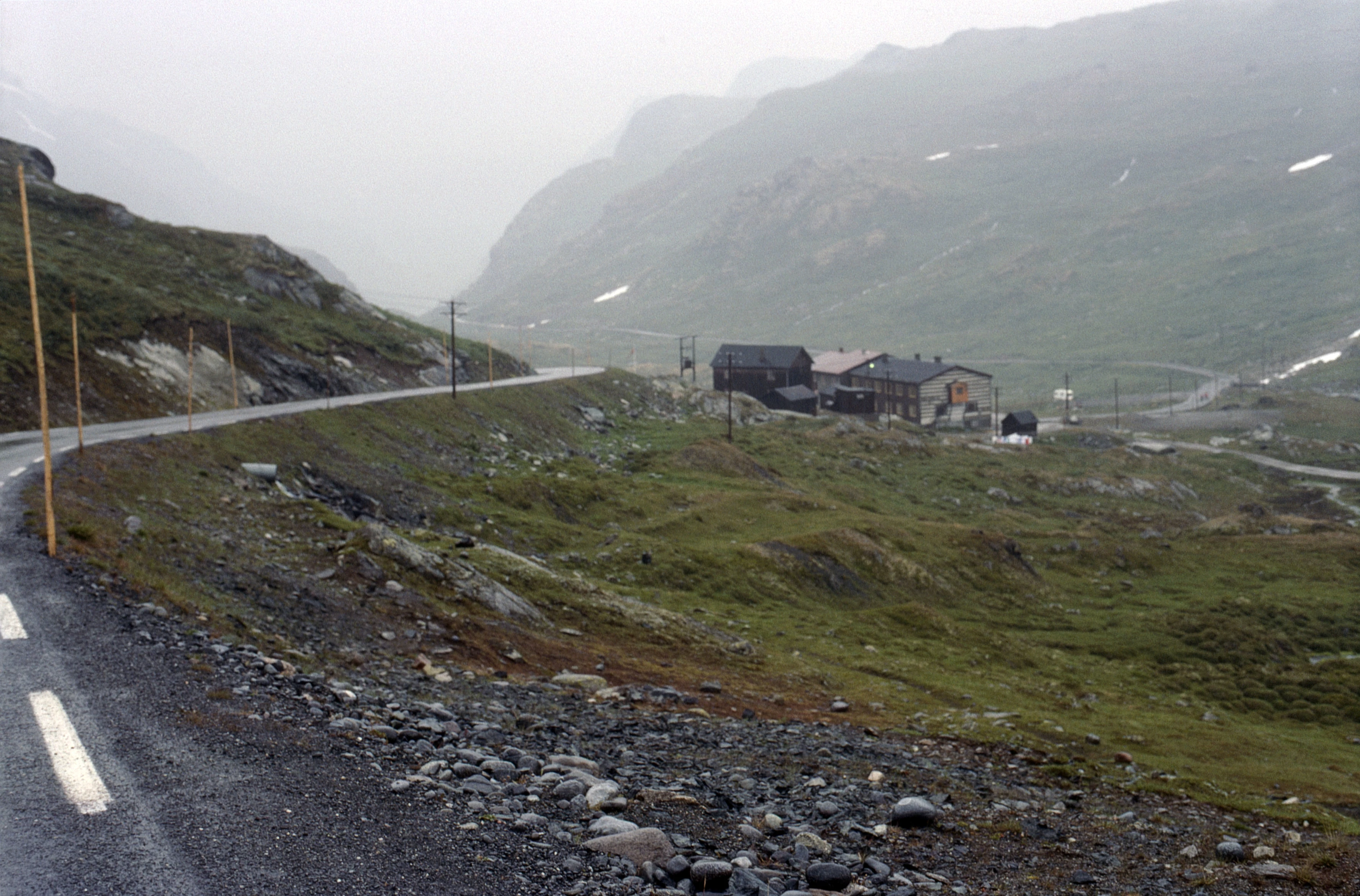
The long downhill sweeps past Krossbu Tourist Cottage, 1.5 miles below the summit.
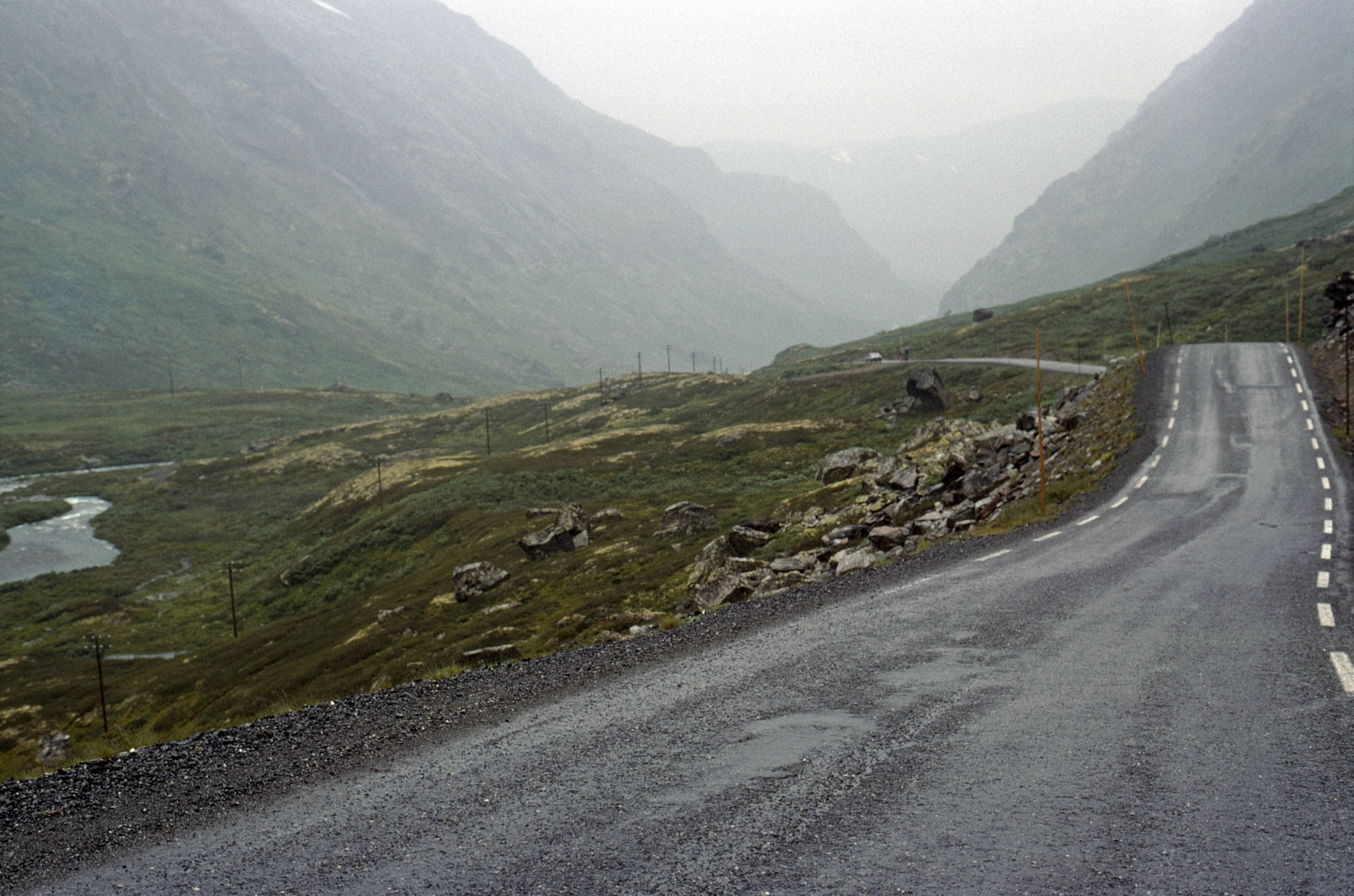
Looking back from partway down the long descent in Breidsæterdalen.
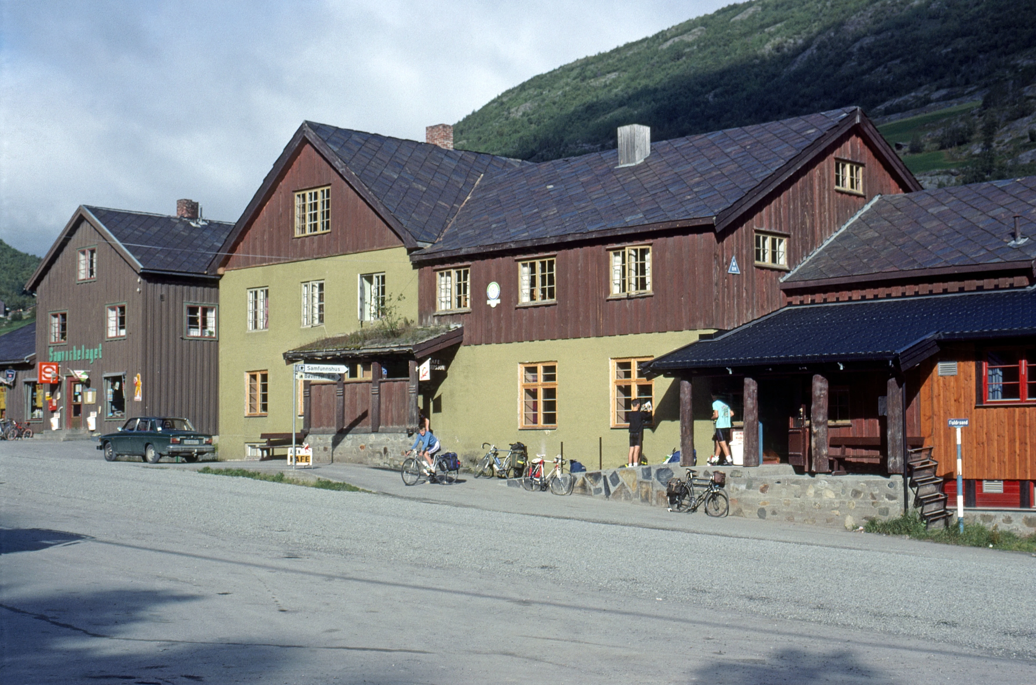
Bøverdalen youth hostel, finally basking in the morning sun we’d craved.
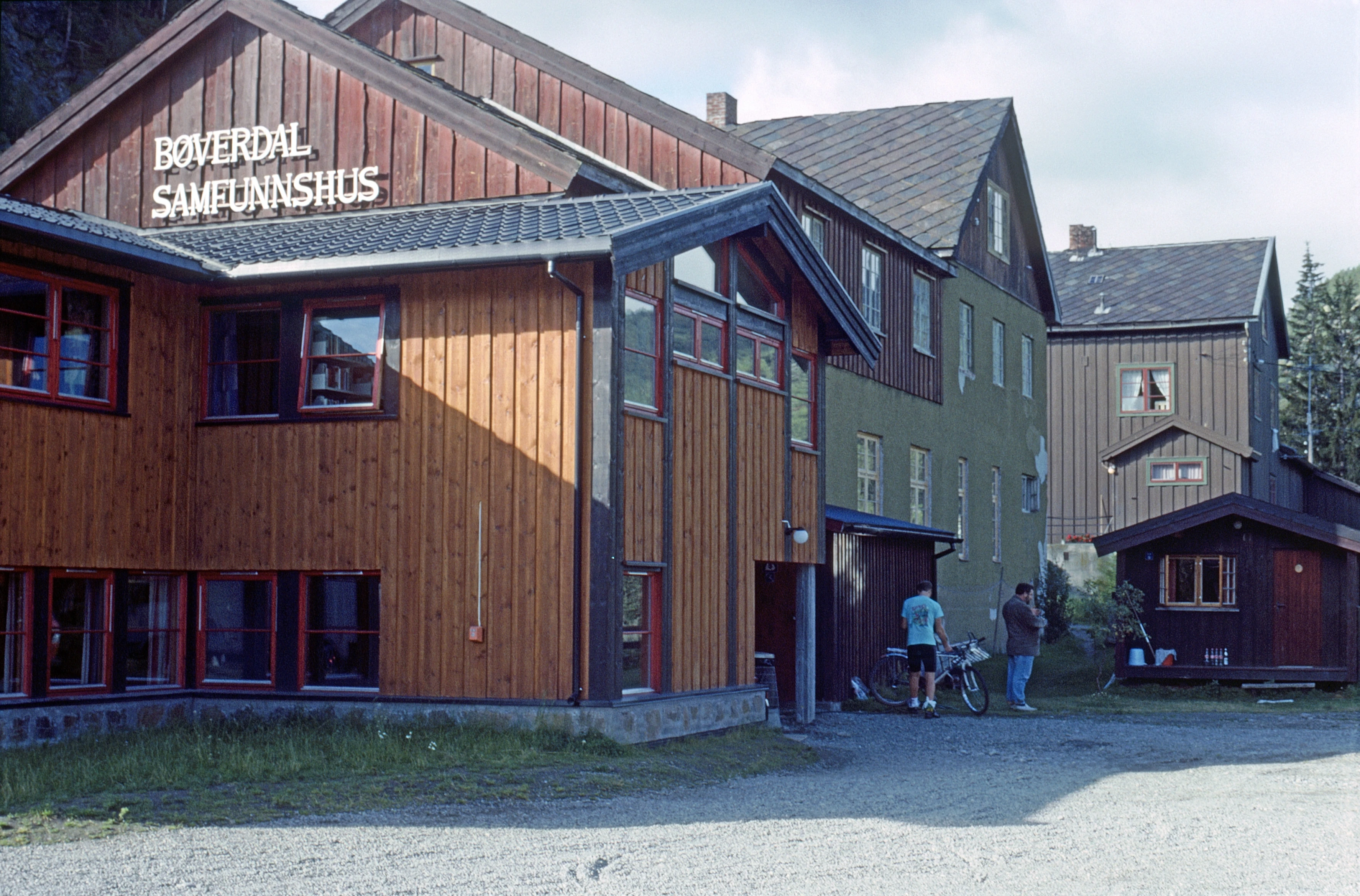
Rear view of Bøverdalen youth hostel in the sunshine.
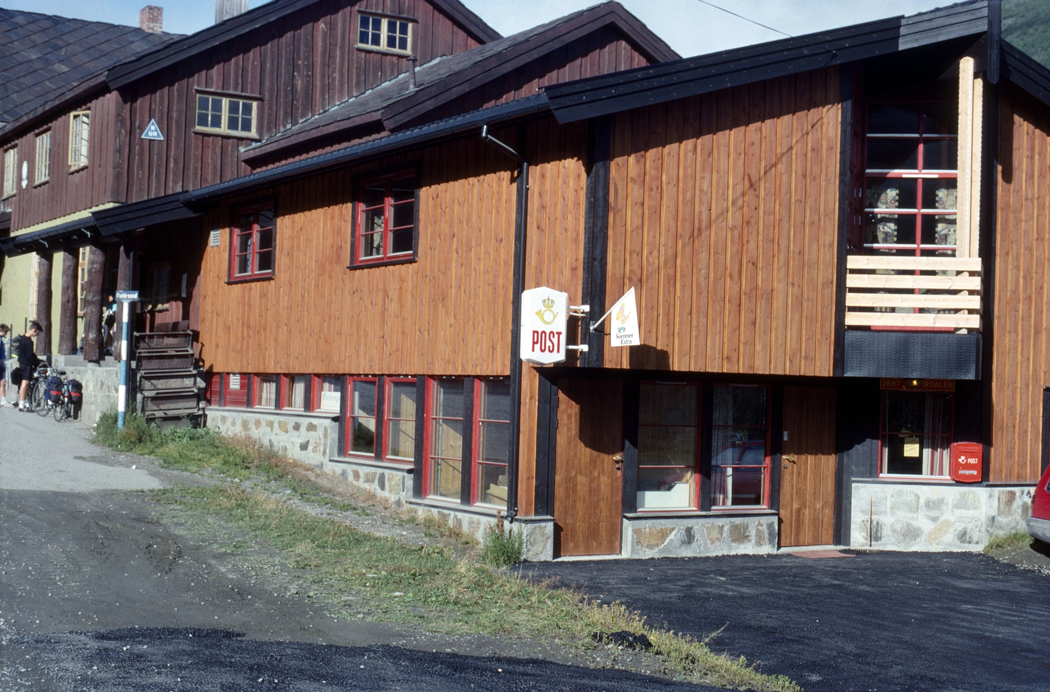
Another view of Bøverdalen youth hostel; our group almost ready. Post Office attached.
Looking back to Galdhøpiggen, Norway’s highest, from Galdbygde on the Bøvra.
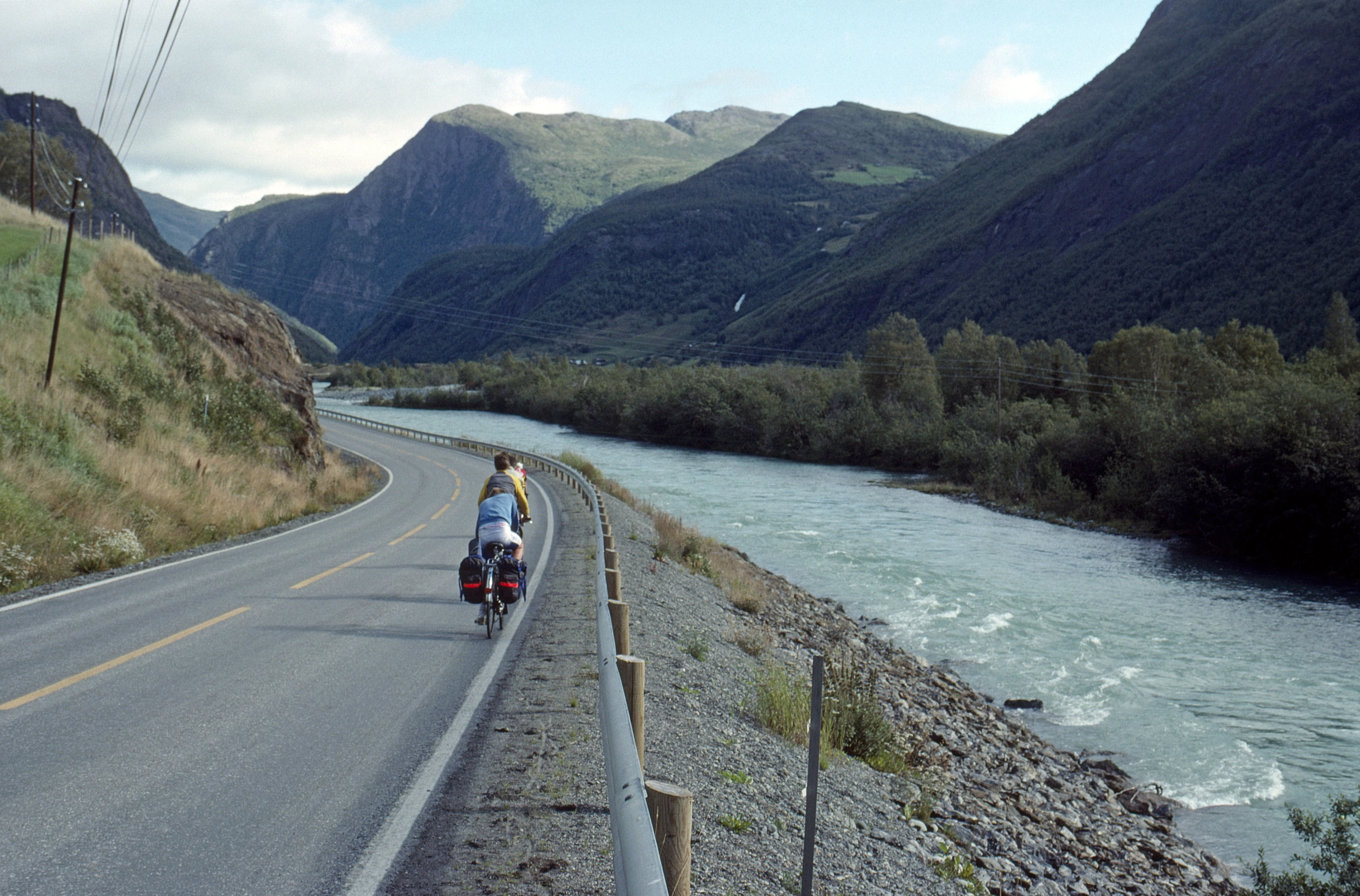
The long downhill along the Bøvra continues, just past the Røisheim Hotel.
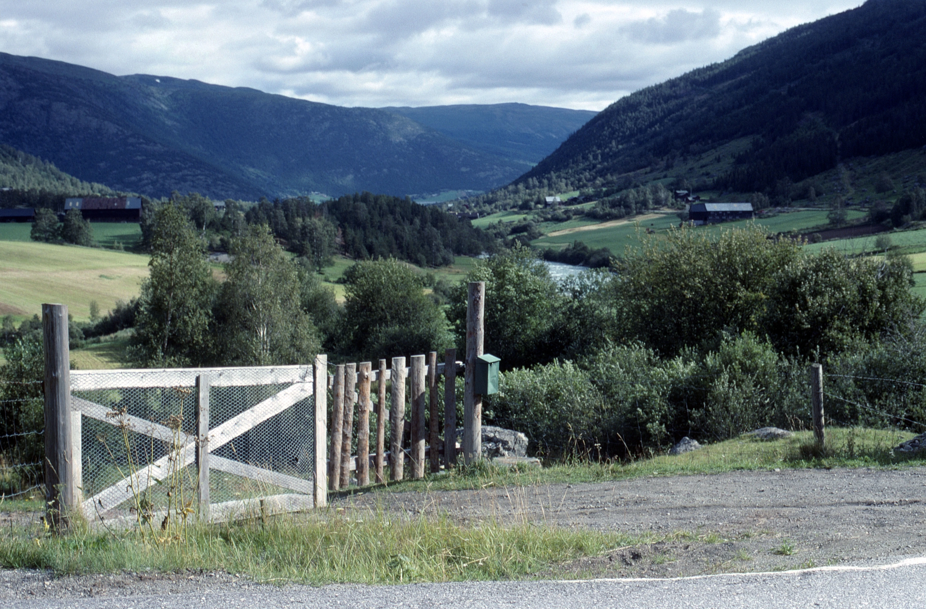
Looking down the Bøvra valley towards Lom, near Strinde on the Sognefjell road.